Thinking about building a rental home community in Wiggins or nearby Saucier? Your returns will rise or fall on one thing you control early: zoning. Sorting out what is allowed on a site, how many homes you can place per acre, and what infrastructure you must build can make or break the pro forma. In this guide, you’ll learn how local rules translate to units, costs and timelines, plus a simple checklist to use before you write a single bid. Let’s dive in.
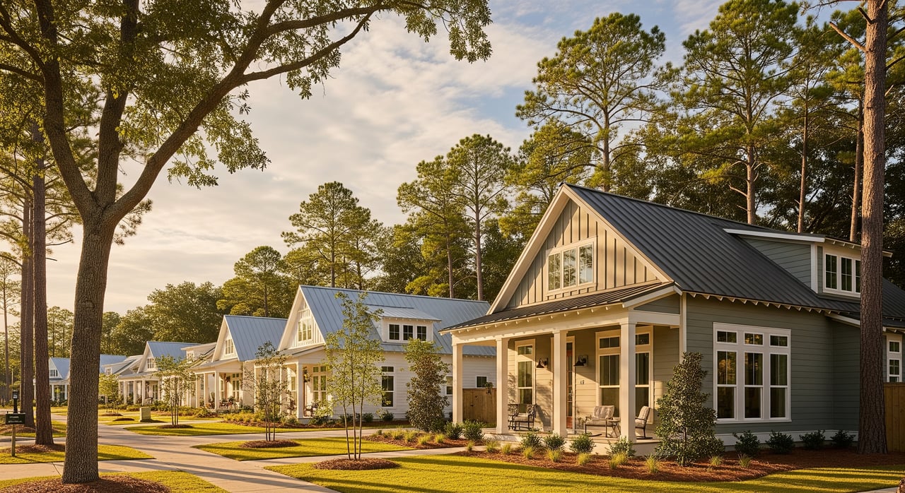
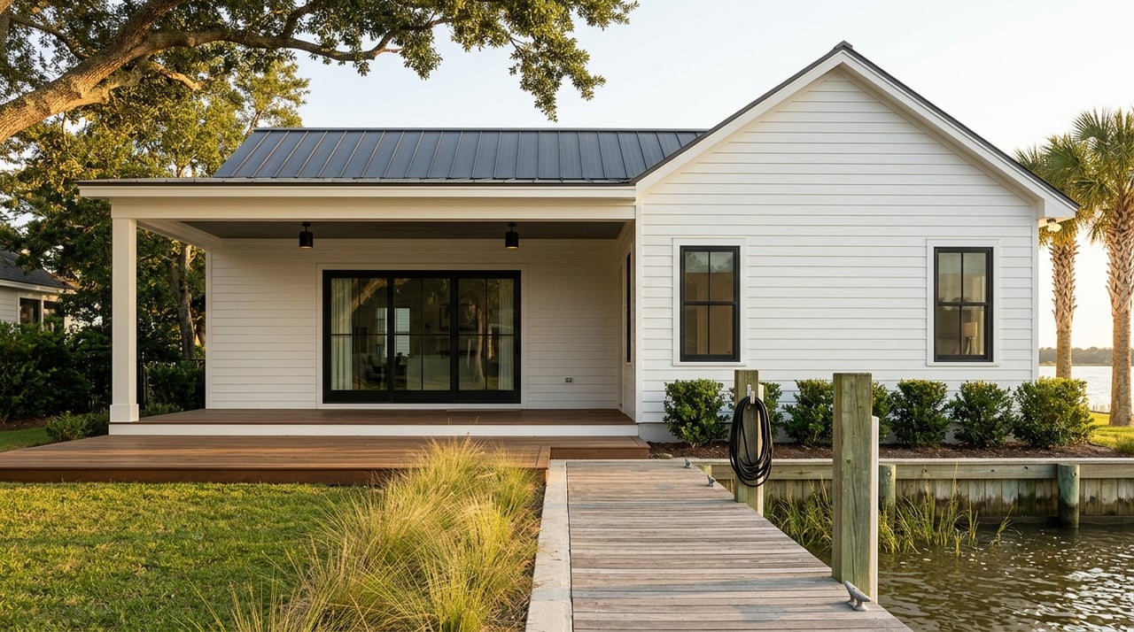
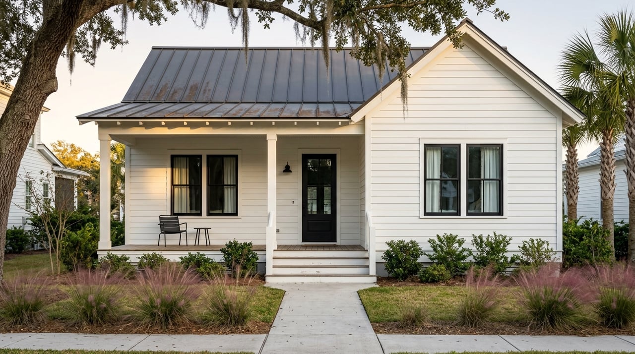
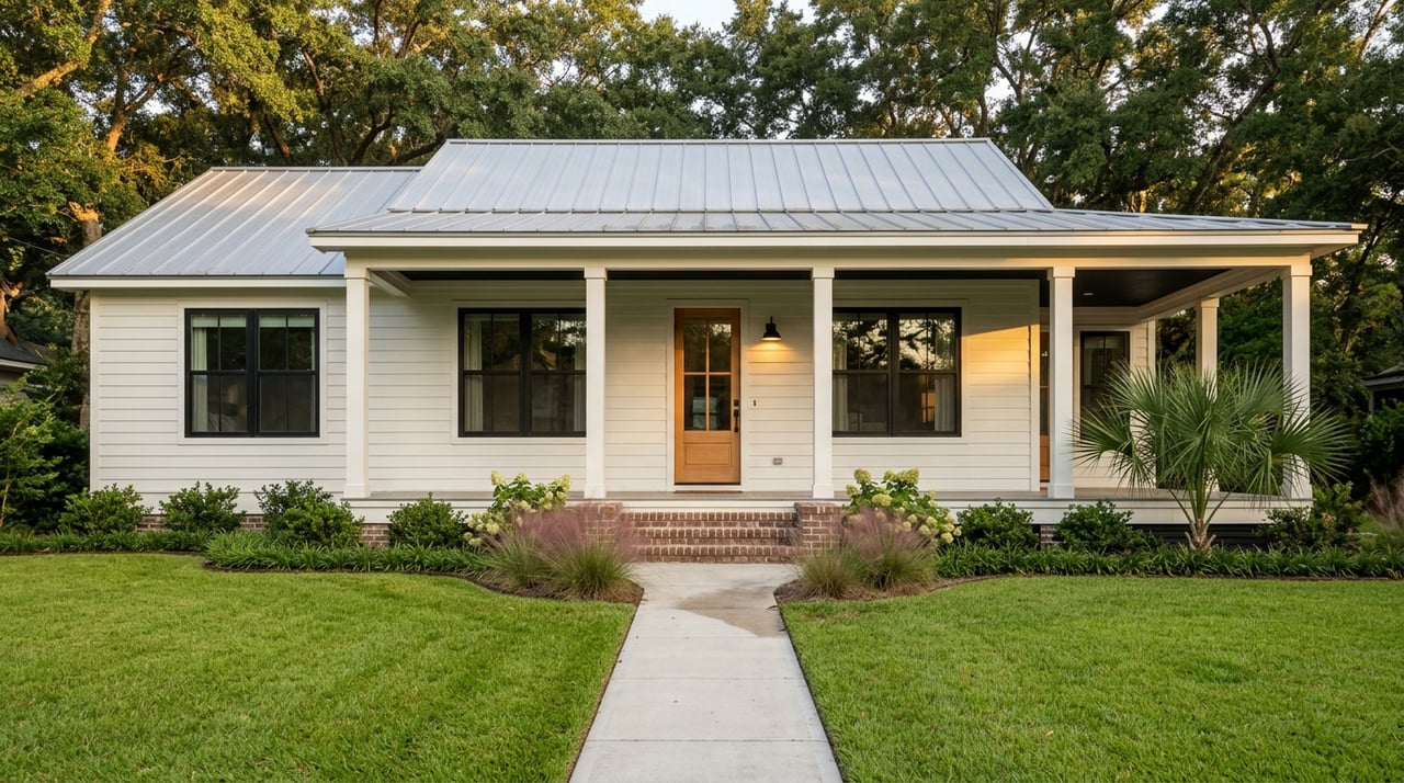
Build‑to‑rent, in plain English
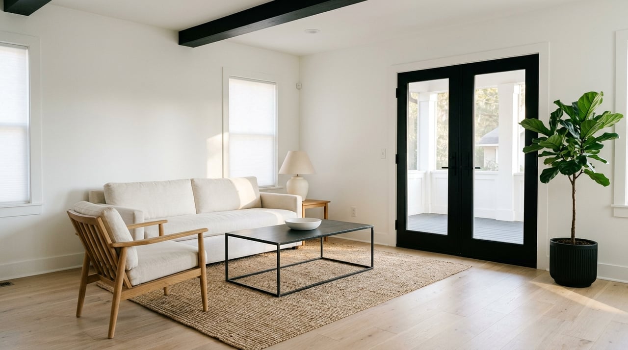
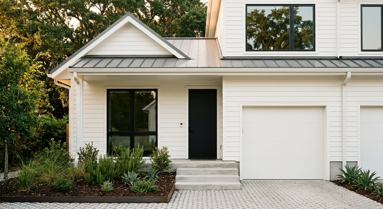
Build‑to‑rent (BTR) communities are purpose‑built single‑family or townhome neighborhoods that are owned and professionally managed as rentals. Residents get space, yards and garages with on‑site management. National research finds that BTR often achieves strong retention and healthy effective rents compared with typical apartments, which is why investors are paying attention. You can review sector‑level insights in the CBRE Build‑to‑Rent overview.
Why zoning drives returns
Zoning rules decide what you can build, how many homes fit on a site, and what it costs to deliver them. In Harrison County, public notices show active work on districts like A‑1, E‑1 and R‑1 and new smaller lot subcategories that change density. You can see the county’s ongoing hearings and map amendments in recent Planning Commission notices.
Allowed use and density
- If a parcel only allows low‑density residential or agricultural, you may need a rezoning or conditional use to place a BTR layout that behaves more like a townhome community.
- Minimum lot sizes and new R‑1 subcategories matter. Smaller minimums mean more units per acre, which lowers land cost per home and spreads sitework across more doors.
- Harrison County actively hears rezoning and text changes, so check the current schedule and submittal path through the Planning Commission process.
Development standards add cost
Setbacks, parking counts, sidewalks, curb and gutter, and stormwater controls all change your budget. Roadway standards, including new streets and improvements, are common requirements before final plat approval. Review typical local street and improvement requirements reflected in county code resources like ecode360’s standards page to understand likely line items.
Entitlement time is money
Even with a supportive plan, rezonings and plats take time. Public hearings, staff reviews and Board actions can stretch several months, which increases interest carry. Plan for multiple review cycles and build conservative timelines into your return model based on the cases you see on the county’s public calendar.
Local context: Saucier, Wiggins and your team
Many parcels around Saucier are suburban or rural in character, which can change infrastructure assumptions. Some sites will have public water but not sewer, or require on‑site stormwater ponds that use up buildable acreage. Harrison County has centralized zoning, engineering and permits at the Seaway Road complex, which makes in‑person research easier. Learn about this one‑stop office in WLOX’s local coverage, then verify parcel zoning, utilities and submittal steps with staff.
When sizing rents, start with Gulfport–Biloxi apartment averages as a baseline and adjust for unit type, size and location. Current apartment data in the region is available through sources like RentCafe’s Gulfport page. Single‑family rents will vary by bedroom count and commute convenience, so back up your assumptions with local comps.
Cost and risk items to model
Utilities and roads
- Confirm potable water and sanitary sewer availability, capacity and connection fees. If sewer must be extended or if the site needs septic, your per‑lot cost changes quickly.
- Expect new internal streets and possibly turn lanes or right‑of‑way dedications. Include bonding and inspection costs shown in local street standards like ecode360’s requirements.
Flood and stormwater
- Always pull FEMA FIRM panels or the NFHL for the exact parcel. Parcels in Special Flood Hazard Areas can trigger elevation and flood insurance that affect NOI and insurability. Start with the FEMA Map Service Center.
- On‑site detention and drainage structures reduce usable area and add earthwork, piping and pond costs that need to be in your site budget.
Construction inflation
- Material and labor costs have shown persistent inflation in recent years. Use current cost indices when setting contingencies and escalators, and carry a larger sitework contingency for greenfield subdivisions. A practical primer is available in this overview of construction cost indices.
Property taxes and classification
- Mississippi assesses owner‑occupied single‑family homes at 10 percent of value, while other real property is generally assessed at 15 percent. BTR communities typically fall under the higher assessment ratio. Review the state framework on the Mississippi Department of Revenue site and confirm final classification with the county assessor when you model NOI.
A quick BTR zoning checklist
Use this shortlist before you tie up land or order full drawings:
- Get the official zoning map panel and district text for the parcel. Note permitted uses, minimum lot size, setbacks and any overlays.
- Schedule a pre‑application with county staff to confirm the path: rezoning, conditional use, PUD, subdivision plat and site plan review.
- Verify utilities: water and sewer provider, line locations, capacity, and connection or impact fees.
- Pull FEMA flood maps and ask about base flood elevation requirements.
- Confirm stormwater design standards and whether off‑site improvements are likely.
- Estimate entitlement and construction timelines and add carry to the pro forma.
- Model property taxes using local millage and the correct assessment class.
Simple density math you can test
Small zoning changes can have big effects. Here is an example you can plug into your model:
- Minimum lot size 12,000 square feet yields about 3.6 detached lots per acre before roads and open space.
- Minimum lot size 7,500 square feet yields about 5.8 lots per acre.
- That shift increases capacity by roughly 60 percent, which can lower land cost per home and improve returns if demand supports the added supply. Always check the county’s current lot‑size options and any new subcategories mentioned in recent hearings.
Partnering locally for better outcomes
If you are weighing sites in Wiggins or Saucier, getting the zoning and infrastructure story right upfront will save time and protect returns. Our boutique team lives and works along the Mississippi Gulf Coast, and we pair local parcel knowledge with elevated marketing to help you source sites, validate assumptions and position your community for lease‑up and exit. When you are ready to explore opportunities or want a parcel‑specific checklist, reach out to HL Raymond Properties, LLC.
FAQs
What is build‑to‑rent and why do investors like it?
- BTR communities are purpose‑built rental homes that often achieve strong retention and healthy effective rents compared with typical apartments, according to CBRE’s sector overview.
How does Harrison County zoning change units per acre?
- Minimum lot size and district rules set how many homes fit on a site; recent county notices show smaller R‑1 subcategories under discussion, which can raise density and improve land efficiency.
Where do I confirm zoning and submit applications in Harrison County?
- Start with the county’s Seaway Road complex, which centralizes zoning, engineering and permits; recent WLOX coverage explains this one‑stop setup.
How do flood zones in Saucier or Wiggins affect returns?
- If a parcel is in a Special Flood Hazard Area, you may face elevation requirements and higher insurance, which increase costs; verify parcel status using the FEMA Map Service Center.
What should I carry for construction cost inflation in my BTR model?
- Use recent construction cost indices to set contingencies and escalators and allow a larger sitework contingency for greenfield projects; see this cost index overview.
How are Mississippi property taxes calculated for rental homes?
- Mississippi generally assesses owner‑occupied homes at 10 percent of value and other real property at 15 percent; check the DOR guidance and confirm classification with the county assessor for your project.